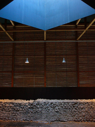
Chur ruins shelters


 (6 vote, 80.00% worth checking out)
 Location:
Seilerbahnweg
Chur
Graubünden
Switzerland
coordinates: 46.8467064,9.5267019
open coordinates in google maps
open coordinates in apple map
Building names(s): Chur ruins shelters / Protective Housing for Roman Archeological Excavations
Architect/Designer: Peter Zumthor
more images:
Completion date: 1986
function(s): historic site
getting there: located on Seilerbahnweg behind the Stadhalle bus station
updated on: 14 May 2012 | suggested on: 4 June 2009 |
Suggested By LT
