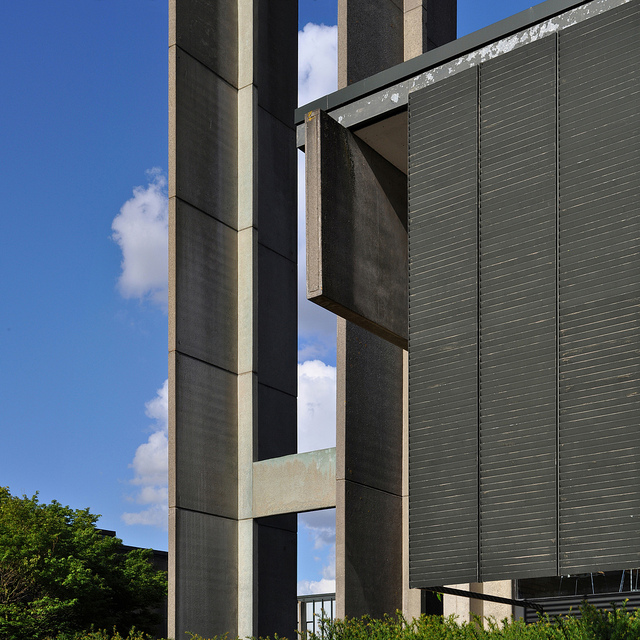
St Catherines Collage


 (2 vote, 60.00% worth checking out)
 Location:
Manor Road
Oxford
OX1 3UJ
United Kingdom
coordinates: 51.7568741,-1.2443615
open coordinates in google maps
open coordinates in apple map
Building names(s): St Catherines Collage
Architect/Designer: Arne Jacobsen
more images:
Completion date: 1964
function(s): academic, dormitory, multi-dwelling, residential, university
getting there: St Catherine's is on the periphery of the City Centre and we do recommend that visitors arriving at the bus or train station take a taxi to the College, especially if they are bringing luggage. However for those who are keen to walk the following directions apply: From the City Centre: The City Centre to St Catherine's will take between 15 and 20 minutes. Most local bus stops are located on Cornmarket and Queen Street, and national buses arrive at Gloucester Green Bus Station on George Street. From any of these, you should make your way to Broad Street (opposite Debenhams). Continue to the end of Broad Street, (past the Sheldonian Theatre on the right). At the traffic lights go straight on into Holywell Street, and at the end of this turn left into St Cross Road. Cross the road at the pedestrian crossing (St Cross Church is on your right) and take the next main right into Manor Road. Go over the bridge and St Catherine's is on your right. From the Train Station: Taxis are recommended from the station, but if you are happy with a 30 minute walk, turn left as you leave the station area. The Royal Oxford Hotel is directly in front of you; keep left and walk along Hythe Bridge Street. At the end walk straight across into George Street. At the end of George Street Debenhams Store is on the left - from here walk straight over into Broad Street and follow the directions as from the City Centre.
updated on: 30 April 2011 | suggested on: 14 December 2010 |
Suggested By LT
